Showing posts with label hiking. Show all posts

Friday, 9 November 2012

Zao and Okama Crater

We went to Zao Onsen back in February, and spent a lovely weekend skiing and relaxing in hot springs. Recently, we repeated the exercise, except we replaced skiing with hiking. It was a brilliant weekend. We stayed in a Ryokan and ate lots of beautiful and delicious Japanese food (if I ever get round to it, there'll be a post about this on my food blog). Then, during the day, we hiked all over the ski slopes, marveling at how different it all looks without the snow and skiers everywhere, before collapsing into a marvellously relaxing hot spring at the end of the day. 

We did some other bits of exploring, which I'll blog about in another post, but on our full day there, we went on a very long hike up to the top of the mountain. The onsen town is at about 750m, and the highest point we reached was the top of Mount Kumanodake, at 1841m. Just beyond Kumanodake is Okama, the crater lake from when Zao last exploded. That was our final destination. There is a ropeway, and a bus that take you up to Okama, but we are never ones to take the easy route! 

It was a pretty long way up, but not too difficult to follow. You can get hiking maps from the tourist information in Zao Onsen, near the bus station. We had a little trouble finding the start of the trail: in the end we had to follow the main ropeway up a little way until we saw the path on our right. We also made a small accidental detour along a river, but when we headed back we realised that there was a sign at the bottom that was telling us which way we should have gone! We had some gorgeous views on the way up, but unfortunately, as we reached the top of the mountain we found ourselves inside a rather cold and damp cloud. You could only see a couple of meters, and we were both freezing and miserable, thinking that we weren't going to get any view of Okama at all. Luckily, as we huddled in a restaurant and had some delicious curry, the clouds did clear enough to give us a decent view. And, even better, as we descended down the mountain, we emerged out of the cloud to beautiful views over Yamagata. 

Being the idiot I am, I forgot to pack my camera this weekend, so all these photos are unfortunately off our iphones. I don't think they're too bad though, considering! 

Although I know that the hot springs in Zao are natural and must therefore come from somewhere, it was still really odd to find a steaming river in the middle of the wood.


Carrying the bag for me on the way up, isn't he a good boy?!

John at the shrine at the top of Kattadake peak, right near Okama crater

Here's a photo of a photo inside the restaurant of what the crater should look like...

...and here's the view we got. It was still beautiful though! 

The water is just so blue!

We made it to the top of Kumanodake, but were so fed up of cold and fog by this point, that we'd mostly given up with photography! 

Emerging out of the clouds...

...to views like this down the ski slopes


Lovely autumn colours

Wandering through the autumnal woods (note that I'm carrying the bag now it's flat, hehe)


So pretty

So many gorgeous views to make up for aching feet! 

Ski slopes with no snow are just weird! 

As we got near Zao, we sat on a ski slope to watch the sunset. What a lovely days hiking!


Monday, 22 October 2012

Mount Banzan

I've been meaning to post about Mount Banzan, a gorgeous walk up a mountain (well, more of a hill really, but I'm from East Anglia so it's a mountain to me!) near our house ever since John and I first hiked it in the middle of August. But then my parents' visit got in the way, and we walked it for a second time before I'd written about the first!

It is a lovely walk, with nice views across Sendai, and should be gorgeous once the leaves finally start changing colour (a few are going round the edges but they're not properly changing yet). It would make a lovely easy day hike coming from Sendai, and for us, living a short bike ride away, we were back home in time for a late lunch!

To get there, take any Senzan line train from Sendai station, and get off at Rikuzenochiai (about 20 minutes), and head south out of the station and follow the map below.

I've recently worked out how to do this, so here is a screen shot from my phone showing where the start of the hike is. 

And here's a photo of the steps up at the start, with the ubiquitous bear warning sign

All of us heading up! The stairs don't go all the way up, but the path remains very easy to follow

There's a small shrine at the top...

...but it's suffered a bit of (earthquake?) damage

A slightly hazy view over Sendai

With a cheeky spider!

View towards Taihaku, south west Sendai

If you keep following the ridge, you get views across the other way, over Ochiai, the town we live in. Our apartment is the one furtherest back in the middle, nestled amongst the trees


John heading down (don't you love his ridiculous head gear?!)

Whole family heading downwards, looking forward to their lunch
(the observant amoungst you might have realised that John is wearing different clothes...he didn't get changed, these photos are just a combination from each time we climbed up :))

Oh yeah, slightly problem...at the bottom, at the moment, this is what greets you! The first time we went there was a bridge across which I assume they'll rebuild, but for the time being, as Dad is so aptly demonstrating, you can easily climb round the edge!

Once you're out, turn right and head back along the main road, and turn left down the first main-ish road. Then you're right back at the station! 

Thursday, 18 October 2012

Hikes Round Fujigoko 2: Around Lake Kawaguchi

After our somewhat over ambitious hike the day before, we decided to have a slightly more relaxed walk the following day, a mere stroll around Lake Kawaguchi. Well, so much for that plan. It was (thankfully!) very flat, but it turned out to be about 25km, including the walk to and from our campsite to the lake, and by the end of the day we were all knackered! Luckily, with the help of a noodle break half way round, and an ice-cream one near the end, and lots of sweets and chocolate along the way, we managed to make our way back in time to watch the sun set over Lake Sai.

As with the day before, there should have been gorgeous views of Mount Fuji at lots of points throughout the day, and, just as the day before, there were photos at strategic view points showing you what you should be able to see. Unfortunately, again, as the day before, we didn't get any of those views! Fuji did come out during the afternoon, but unfortunately by then we were on the wrong side of the lake to get a good view! Oh well, we did see it at least! Regardless of Fuji, it was still a lovely days walk, taking in the peaceful gardens of the northern side of the lake, along with the commercialised southern side.

Viewing a rice crop for the first ever time!

The peaceful north western edge of Kawaguchiko


Wandering through some gardens on the northern side

Wall of flowers

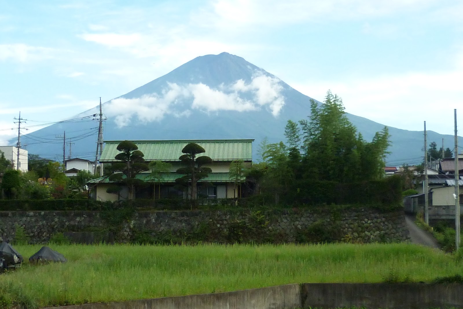
Fuji does exist, after all!


Bellringing lesson!

Towards the end of the walk, with very tired legs!

Sunset over Lake Sai...we made it!

Wednesday, 17 October 2012

Hikes Around Fujigoko 1: Mount Ashiwada and Aokigahara

Through neglect and laziness, my blog is about a month behind me, and I'm starting to suffer the consequences. When looking up hikes around Lake Sai, I'd come across this great post about a walk up to Mount Ashiwada and through the forest of trees. I'd decided that that would be a lovely walk for us all to do, but couldn't find a more detailed map anywhere. Luckily, the tourist information office at Kawaguchiko station helpfully provided us with one, and I made a concerted effort to save it in order to post a photo of it on this blog to help future visitors. Unfortunately, John did a mass clear out of our apartment's paperwork last week, and the map seems to have been caught up in it. So, no map. But I can assure you that the walk outlined below is possible, and you will be able to get a map with vague details from the lovely helpful lady in the Tourism Information office when you arrive at Kawaguchiko!

Just so you've got an idea what I'm talking about, here's a very badly drawn map of our route! 

I don't know exactly how far the walk was, but it was hard work, and took us a long time. We left at about 9am, and didn't get back until it was pretty much dark (so I guess about 6:30pm). We did stop off at an onsen on the northern shore of Saiko on the way back though, to wash (due to our campsite not having any wash facilities at all) and to rest our weary bodies after the day! The initial climb was by far the hardest part of the day. Really steep and really tough, but we made it! The rest of the day was basically a ridge walk, followed by a descent into Aokigahara (the Sea of Trees) and finished off with a walk back along the northern shore of the lake. The ridge walk wasn't quite as flat as we'd hoped, and there were still a lot of ups and downs along it, but it was a very clear path, and we all thoroughly enjoyed our day! The only disappointing thing was that Mount Fuji lived up to its shy reputation, and other than a tiny glimpse of the top at the end of the day, it stayed shrouded in fog all day. Despite that, there were some lovely views over the lakes, and I 100% recommend this hike!

Mum and Dad on the climb up

Our first view of the day, over Lake Kawaguchi

Arriving at the top of Mount Ashiwada (Otherwise known as Gokodai, 5 lake view. We couldn't see all 5 though!)

All four of us at the top! 
If you're wondering what Dad is holding, it's an unidentified berry that he found and wanted to eat. He made me and John ask every Japanese person we found what it was and whether it was edible. The eventual consensus, several amused and confused Japanese people later, was that it wasn't poisonous, but it was very sour!

The view we should have had from the top of Ashiwada...

...but the view we actually had! Stupid clouds.

Luckily, the view the other way, over Lake Kawaguchi, was far better!

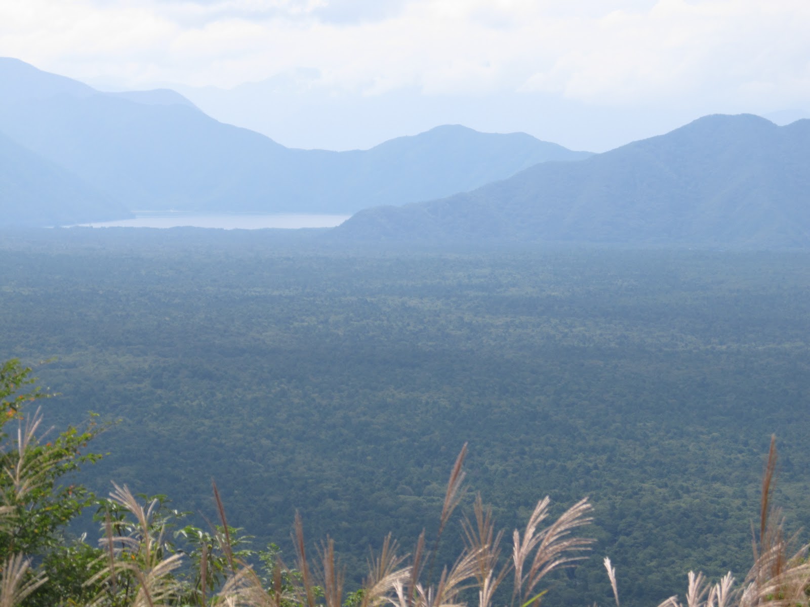
View from Sankodai, over the Aokigahara. Aokigahara (Sea of Trees) is infamous as a suicide location, due to its size and how dark it is. Read more about it on this Tofugu article

Looking out over Aokigahara. The trees really do seem to go on for ever and ever.

Heading down the mountain, towards Aokigahara

Gloomy and creepy. We stuck firmly to the main path, but I still found my skin creeping at times. I wouldn't want to be in here near dusk, or alone, or wander anywhere off the beaten track.

View along Lake Sai, from the western end. Our campsite was one of the collection of buildings you can just about make out at the far end.

The day's one view of Mount Fuji! At least we knew it was really there!